

The Meteorological Service of Jamaica (Met Service) has confirmed that eastern and central parishes have so far received most of the heavy rainfall from Tropical Storm Grace with amounts exceeding 80 millimetres or three inches.
The Met Service said Doppler radar imagery also confirmed that gusts reaching over 87 km/h (54 mph) have been recorded in Kingston and St Andrew.
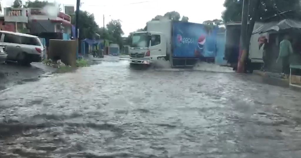
In a bulletin this afternoon, the entity said frequent outbreaks of heavy rainfall will continue to impact the island, spreading over western parishes through this evening as Grace moves westward.
It said outer bands of showers will also continue mainly over southern parishes while flash flooding should still be expected in low-lying and flood-prone areas into this evening. Strong gusty winds will also continue during the next six to 12 hours.
Meanwhile, a tropical storm warning remains in effect for Jamaica as Grace spreads strong gusty winds, widespread heavy rainfall, and flash flooding across the island.
This means that conditions associated with a tropical storm are expected to continue across Jamaica this evening.
The Met Service said at 4:00 pm, the centre of Tropical Storm Grace was located near Latitude 18.4 degrees North, Longitude 77.9 degrees West. This is about 10 kilometres (five miles) south of Montego Bay, or 44 kilometres (28 miles) east of Negril Point, Jamaica.
Grace is moving towards the west near 24 km/h (15 mph), and a general westward to west-northwestward motion is expected for the next several days.
On the forecast track, the centre of Grace will continue to move near or over northwestern Jamaica for the next couple of hours and then near or over the Cayman Islands late tonight and early Wednesday.
Maximum sustained winds remain near 85 km/h (50 mph), with higher gusts.
The tropical storm is forecast to strengthen into a hurricane on Wednesday while moving away from Jamaica. Tropical-storm-force winds extend outward up to 130 kilometres (80 miles) from the centre.
More information later